Converts longitude from [0, 360) to [-180, 180) and vice versa.
Value
If group is missing, a numeric vector the same length of lon.
Else, a list with vectors lon and group.
Examples
library(ggplot2)
library(data.table)
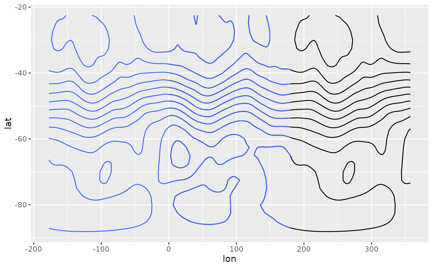
data(geopotential)
ggplot(geopotential[date == date[1]], aes(lon, lat, z = gh)) +
geom_contour(color = "black") +
geom_contour(aes(x = ConvertLongitude(lon)))
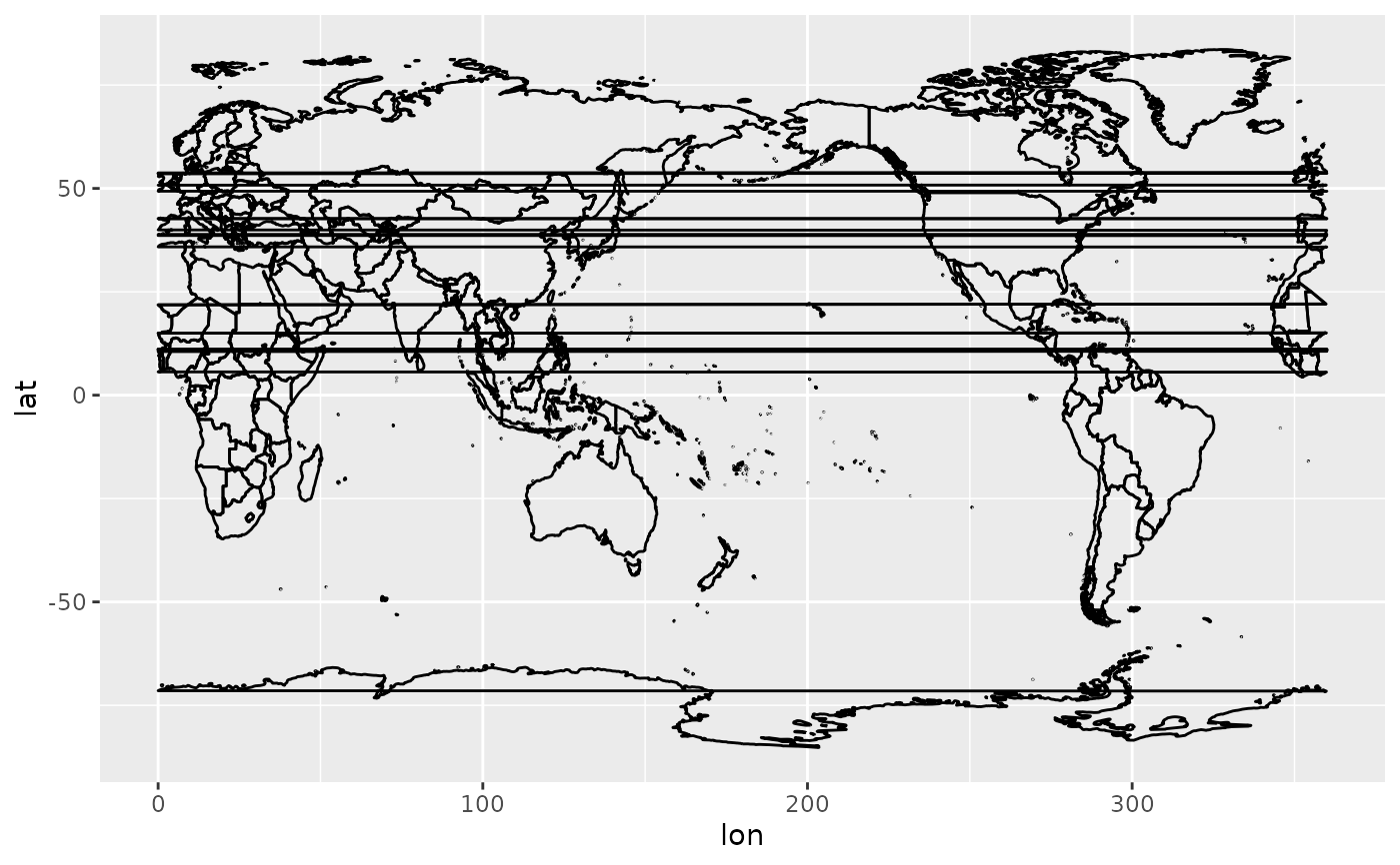
 if (requireNamespace("maps")) {
map <- setDT(map_data("world"))
map[, c("lon", "group2") := ConvertLongitude(long, group, from = 180)]
ggplot(map, aes(lon, lat, group = group2)) +
geom_path()
}
#> Loading required namespace: maps
if (requireNamespace("maps")) {
map <- setDT(map_data("world"))
map[, c("lon", "group2") := ConvertLongitude(long, group, from = 180)]
ggplot(map, aes(lon, lat, group = group2)) +
geom_path()
}
#> Loading required namespace: maps